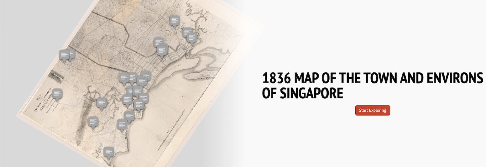
1836 Map of the Town and Environs of Singapore

In 1829, George Drumgoole Coleman (G. D. Coleman) was tasked to prepare a topographical survey of Singapore. This 1836 map is the result of the survey and it represents the first comprehensive map that depicts not only the roads and buildings in the town, but also elements in the island’s interior and coastal lands such as contours, rivers, and geographical names. As a whole, this map provides us an important perspective on how much Singapore had developed within 25 years of the British arrival.
Embark on this story map to learn more about the various elements in this important map.
View the story map in full screen or on your mobile device by scanning the QR code below.

Notes:
-
The title of the base map used in this story map is the “Map Of The Town And Environs Of Singapore” (1836).
-
This story map used related articles in Infopedia, HistorySG, BiblioAsia, and Roots as references. It also consulted the following books: Singapore Street Names: A Study of Toponymics (2013), What’s in the Name?: How the Streets and Villages in Singapore Got Their Names (2018), Ray Tyers’ Singapore: Then & Now (2018), Singapore: A Guide to Buildings, Streets, Places (1988), In Granite and Chunam: The National Monuments of Singapore (1996), and Singapore: A Pictorial History 1819-2000 (1999).

